Sailing holidays Croatia
Nautical charts Croatia
To complement the GPS plotter there are several paper charts to consider.
The best known publications – certainly on the charter yachts, request reliable yacht charter companies – are by Imray.
Two passage charts, the M23 Adriatic Sea Passage Chart and the M30 Southern Adriatic and Ionian Seas.
Four cruising charts: M24 Golfo di Trieste to Lošinj and Rab, M25 Otok Rab to Sibenik, M26 Split to Dubrovnik, M27 Dubrovnik to Bar and Ulcinj.
See my Imray section below.
British Admiralty charts – though more expensive – offer much more details since printed in larger formats and in larger scales too.
The following ten BA Charts are recommended: 2719, 202, 515, 2711, 2774, 2712, 1574, 1580, 1582.
Abbreviations and expressions on Croatian nautical charts
| Abbr. | English | Abbr. | Croatian | Abbr. | English | Abbr. | Croatian | ||
|---|---|---|---|---|---|---|---|---|---|
| W | White | B | Bijelo | F | Fixed | S | Stalno | ||
| R | Red | C | Crveno | Fl | Flash | Bl | Bljeskovi | ||
| G | Green | Z | Zeleno | Q Fl | Quick Flash | B Bl | Brzi Bljeskovi | ||
| Y | Yellow | Ž | Žuto | S Fl | Short Flash | K Bl | Kratki Bljeskovi | ||
| L Fl | Long Flash | D Bl | Dugi Bljeskovi | ||||||
| Iso | Isophase | Izo | Izofase | ||||||
| Occ | Occulting | Pk | Prekide |
If a lighthouse shows the abbreviation POT in a marked area, it means POTAMJENO, which is Croatian for “not visible”.
Furthermore, islands in Croatian: “otoci”, islets “otočići” and rocks “hridi”
|
|
Adriatic passage charts


Winds Croatia
Climate data
wind roses Adriatic
Croatian coasts
Wind rose example:
Calms: 2%
from N: ~6% 6Bft
from NE: 0
from E: ~6% 4Bft
from SE: ~11% 5Bft
from S: ~5% 4Bft
from SW: ~24% 6Bft
from W: 31% 6Bft
from NW: v~14% 6Bft
~ means you have to make an estimate.
Top 25 largest islands and location
| Size | Island | Nearest mainland port | |
|---|---|---|---|
| 1 (biggest) | Cres | Pula, Rijeka | 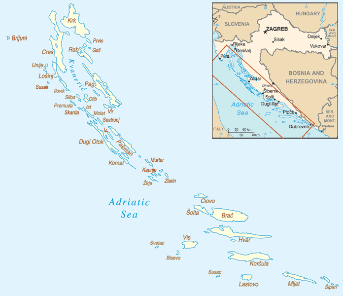 |
| 2 | Krk | Rijeka | |
| 3 | Brač | Split | |
| 4 | Hvar | Split | |
| 5 | Pag | Zadar | |
| 6 | Korčula | Split, Dubrovnik | |
| 7 | Dugi otok | Zadar | |
| 8 | Mljet | Dubrovnik | |
| 9 | Vis | Split | |
| 10 | Rab | Rijeka | |
| 11 | Pašman | Zadar | |
| 12 | Šolta | Split | |
| 13 | Lošinj | Rijeka | |
| 14 | Ugljan | Zadar | |
| 15 | Lastovo | Split | |
| 16 | Kornat | Šibenik | |
| 17 | Čiovo | Split | |
| 18 | Olib | Zadar | |
| 19 | Molat | Zadar | |
| 20 | Vir | Zadar | |
| 21 | Mali Lošinj | Rijeka | |
| 22 | Murter | Šibenik | |
| 23 | Unije | Rijeka | |
| 24 | Iž | Zadar | |
| 25 | Šipan | Dubrovnik | |
| |||
 Adriatic Pilot
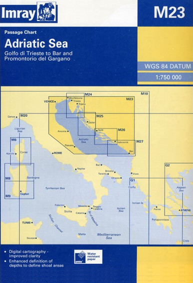 M23 Adriatic Sea Passage Chart
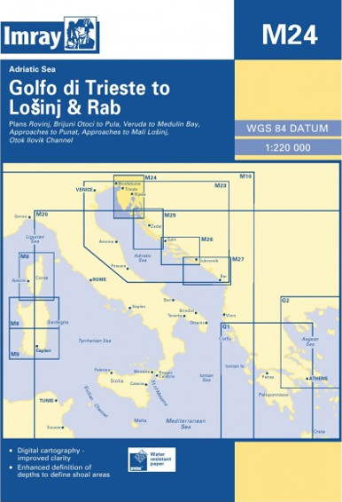 M24 Golfo di Trieste to Lošinj and Rab
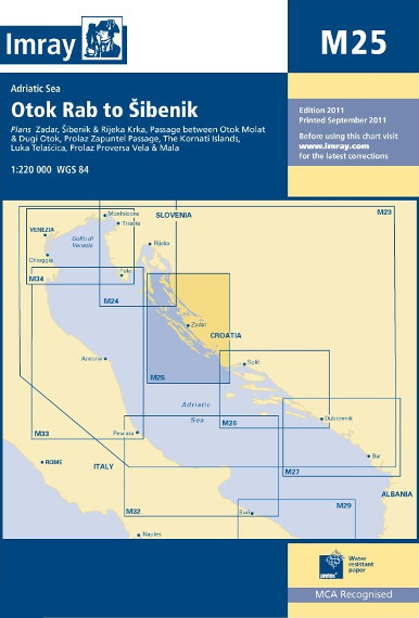 M25 Otok Rab to Sibenik
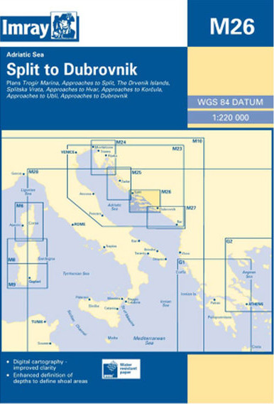 M26 Split to Dubrovnik
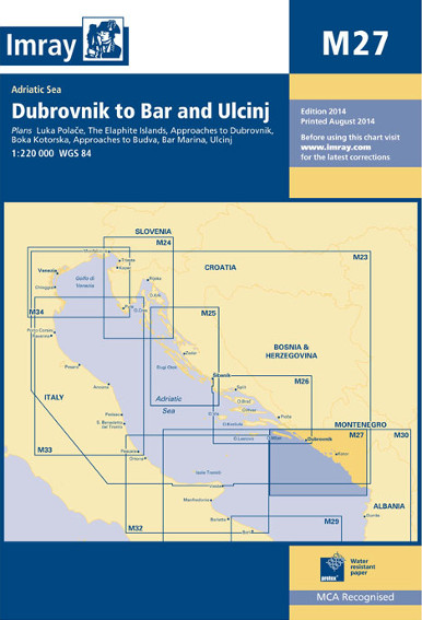 M27 Dubrovnik to Bar and Ulcinj
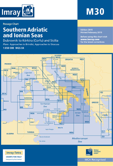 M30 Southern Adriatic and Ionian Seas
Adriatic & Dalmatian coasts
The Adriatic consists of:
- The east coast of Italy:
this shallow western shore of the Adriatic Sea is mostly very wearisome, with hardly any picturesque or worthwhile ports. Notable exceptions are – from south to north – The medieval harbour of Otranto, Monopoli (south of Bari), Molfetta (north of Bari), Trani, Manfredonia, anchorages in the nature reserve of the Tremiti islands and the river harbour of Cesenatico. - Italian Venice to Trieste coast:
this northernmost part of the Adriatic is uncomfortably shallow, with many ugly marinas to avoid. Do, however, visit Muggia, Grignano (Miramare castle), Duino, Laguna di Marano, Laguna di Grado and of course Trieste and Venice. - Slovenia:
the tiny stretch of coastline south of Trieste with just three, but very worthwhile ports; Piran, Izola and Koper/Capodistria. - Croatia (including the 20 km seaboard of Bosnia-Herzegovina):
a much indented coast with a myriad of islands and isles. This epitome of cruising grounds is only surpassed by Greece and Turkey. - Montenegro:
a small but lovely area with ports like Petrovac na Moru, Sveti Stefan anchorage, Budva, Bigova, Kotor and the Kotor Gulf. - Albania:
this country – adjacent to Corfu – is avoided by all but the most adventurous sailors.
The Dalmatian coast – located on the eastern shore of the Adriatic Sea – stretches from island of Rab in the north (Chart MK 7) to the Bay of Kotor in the south (Chart MK 27) in Montenegro.
Not only the coastline of Croatia, with important ports like Split, Zadar, Dubrovnik, and Šibenik, but also ~80 larger islands (largest being Brač, Pag and Hvar) and hundreds of smaller islets make up the Dalmatian coast, sailing tips for Croatia – Trogir.
Yacht charters Croatia
Request reliable yacht charter companies for Croatia – monohulls & catamarans.
Similar for luxury crewed charters & gulets in the Adriatic and Croatia.
For sailing holidays, focus on the coasts and islands between Venice and Bar, which includes the Dalmatian coast, and best to sail out of Split or Dubrovnik.
For other Mediterranean sailing areas: Greece and Turkey.

Weather
Croatian Meteorological… Marine forecasts and
NWP
Meteomar •
Yr •
LaMMA •
Windfinder