Books & maps for
sailing holidays in Greece

Planning sailing holidays involves lot's of reading, which is half the fun!
Below I selected the most indispensable books, guides & nautical charts for you that are available through (USA) amazon.
Likewise I prepared a selection for (UK) Amazon.co.uk users.
I receive a ~4% referral fee from amazon.com, so please purchase your books and charts through the links below.
Imray G Charts

G1 Mainland Greece, Peloponnese – Passage Chart
G2 Aegean Sea (north) – Passage Chart
G3 Aegean Sea (south) – Passage Chart
G11 North Ionian Islands – Corfu Levkas
G12 South Ionian Islands – Levkas Zakynthos
G121 Ionian – The Inland Sea
G13 Gulfs of Patras and Corinth
G14 Saronic and Argolic Gulfs
G141 Saronic Gulf – Corinth Canal, Sounion, Poros
G15 Southern Peloponnese, Kythira
G16 Western Peloponnese
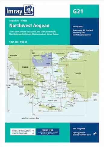
G21 North-west Aegean
G22 North-east Aegean
G23 Marmara Sea, Istanbul
G2 Aegean Sea (north) – Passage Chart
G3 Aegean Sea (south) – Passage Chart
G11 North Ionian Islands – Corfu Levkas
G12 South Ionian Islands – Levkas Zakynthos
G121 Ionian – The Inland Sea
G13 Gulfs of Patras and Corinth
G14 Saronic and Argolic Gulfs
G141 Saronic Gulf – Corinth Canal, Sounion, Poros
G15 Southern Peloponnese, Kythira
G16 Western Peloponnese
G21 North-west Aegean
G22 North-east Aegean
G23 Marmara Sea, Istanbul
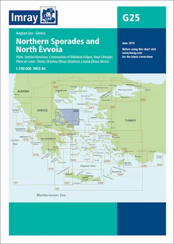
G25 Northern Sporades and North Evia (Euboea)
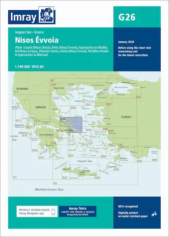
G26 Evia (Euboea)
G27 Lesvos and Coast of Turkey
G28 Chios and Coast of Turkey
G31 Northern Cyclades
G32 Eastern Sporades, Dodecanese, Ionian coast Turkey
G33 Southern Cyclades (west sheet)
G34 Southern Cyclades (east sheet)
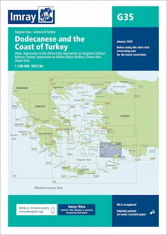
G35 Dodecanese, Carian coast Turkey
G36 Marmaris to Kekova, Lycian coast Turkey
G37 Crete (west)
G38 Crete (east)
G39 Karpathos to Rhodes
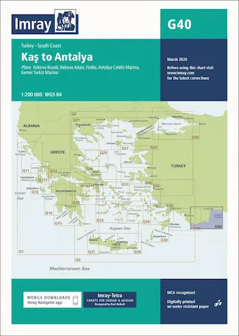
G40 Kaş to Antalya
G26 Evia (Euboea)
G27 Lesvos and Coast of Turkey
G28 Chios and Coast of Turkey
G31 Northern Cyclades
G32 Eastern Sporades, Dodecanese, Ionian coast Turkey
G33 Southern Cyclades (west sheet)
G34 Southern Cyclades (east sheet)
G35 Dodecanese, Carian coast Turkey
G36 Marmaris to Kekova, Lycian coast Turkey
G37 Crete (west)
G38 Crete (east)
G39 Karpathos to Rhodes
G40 Kaş to Antalya


Imray pilot guides


Greece, Sea Guides (EagleRay)